
By: Gunnar Consol
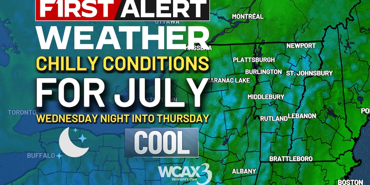
BURLINGTON, Vt. (WCAX) - A beautiful, breezy, and quiet start to the week gives way to a more active midweek pattern. Monday stays sunny and comfortable, but smoke may return Tuesday as winds turn south and a disturbance looks to approach from the west. Showers and thunderstorms are possible Tuesday afternoon and evening, with the best chance initially across northern New York, before widespread showers arrive Tuesday night. Wednesday looks wetter across Vermont, with another round of showers and thunderstorms possible as the cold front moves through. The overall severe and flooding threat remains low for now, but localized heavy rain or a stronger storm cannot be ruled out if enough heating develops. Conditions improve by Thursday, with a warm and mostly dry finish to the workweek.