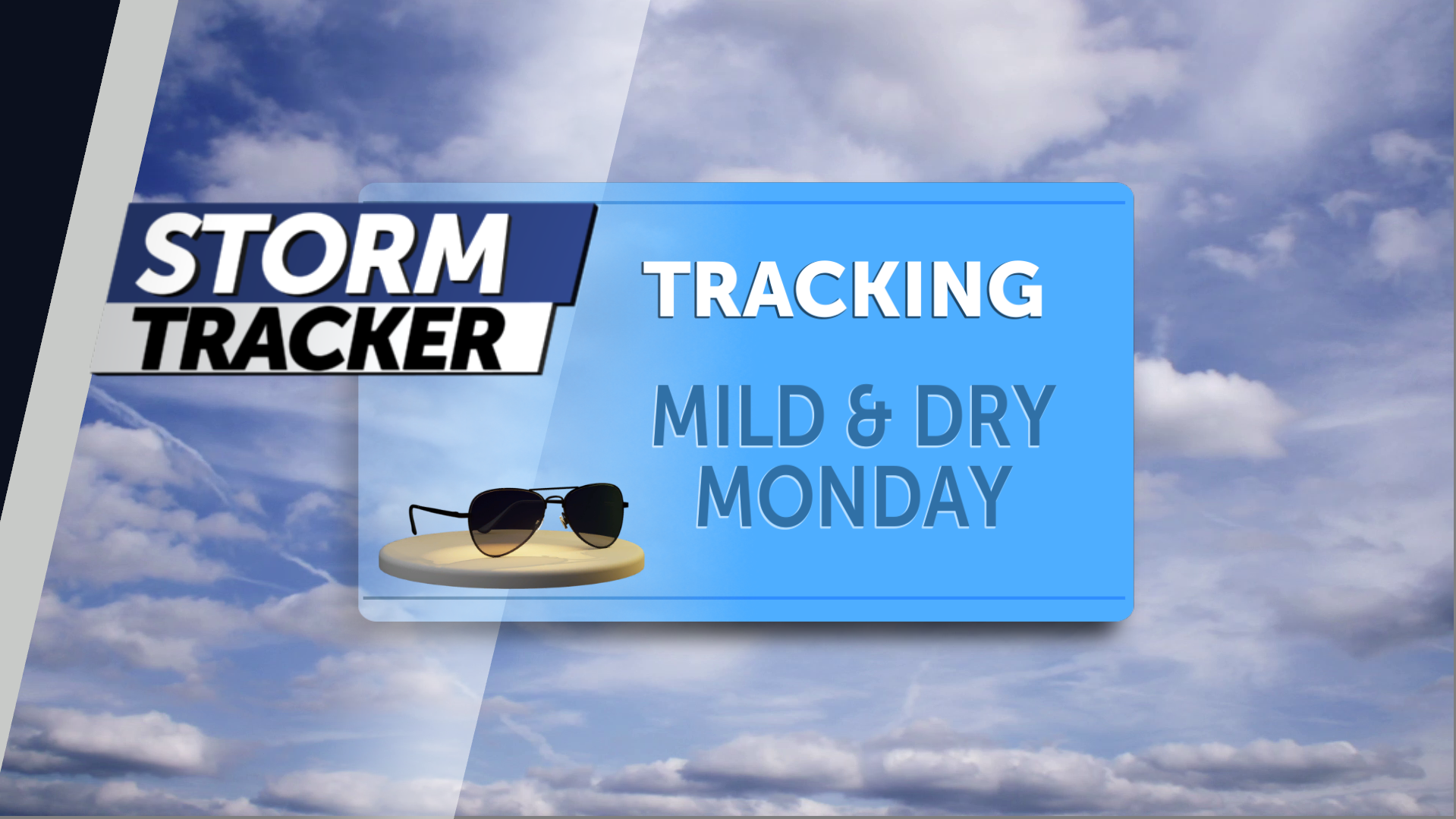
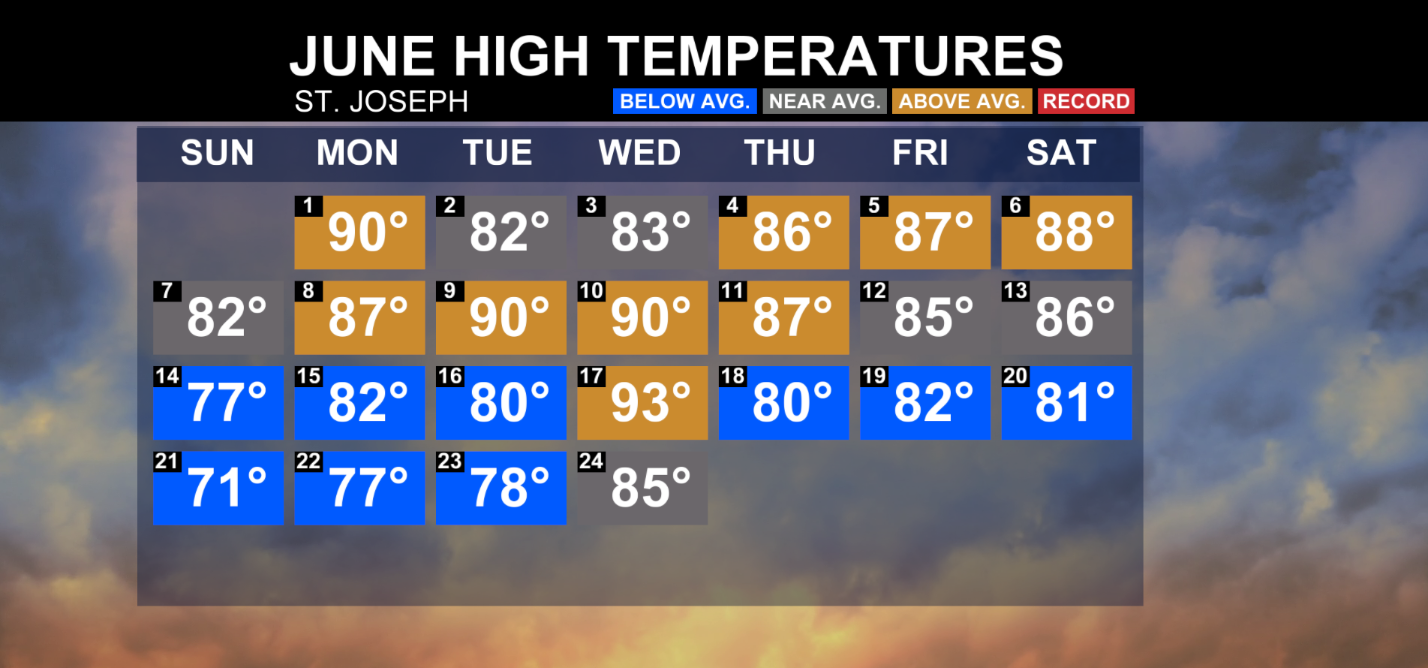
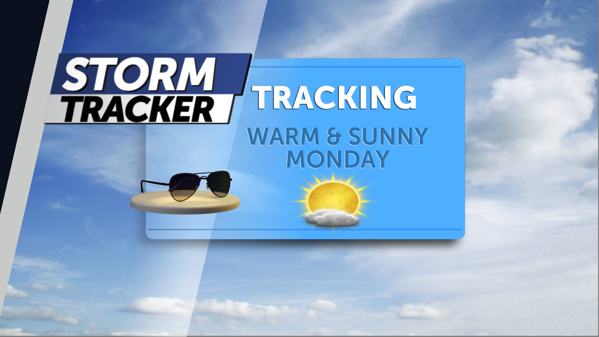
Summer-like heat will continue to build across Northwest Missouri and Northeast Kansas for the next several days, helping fuel a threat for scattered strong to severe thunderstorms as multiple disturbances track across the area. The first rounds of stronger storms will impact parts of the region Saturday evening and overnight, especially north of highway 36 with high winds and hail being the primary hazards. Sunday will offer a reprieve from rain and t-storm chances with partly sunny skies, gusty southerly winds, and highs near 90 degrees. A second risk for severe thunderstorms develops late Monday as a low-pressure system moves in from the west. Damaging winds, large hail, and tornadoes are possible with any storms that form Monday evening and overnight.
Jared Shelton is the Chief Meteorologist at News-Press Now’s Stormtracker Weather. With a degree in atmospheric sciences and geography from the University of Georgia, he has a keen interest in climate change, ecology, and the unique weather patterns of Northwest Missouri and Northeast Kansas. Jared's insights and expertise have been featured in BLOX Digital, Yahoo News, and The Kansas City Star.


