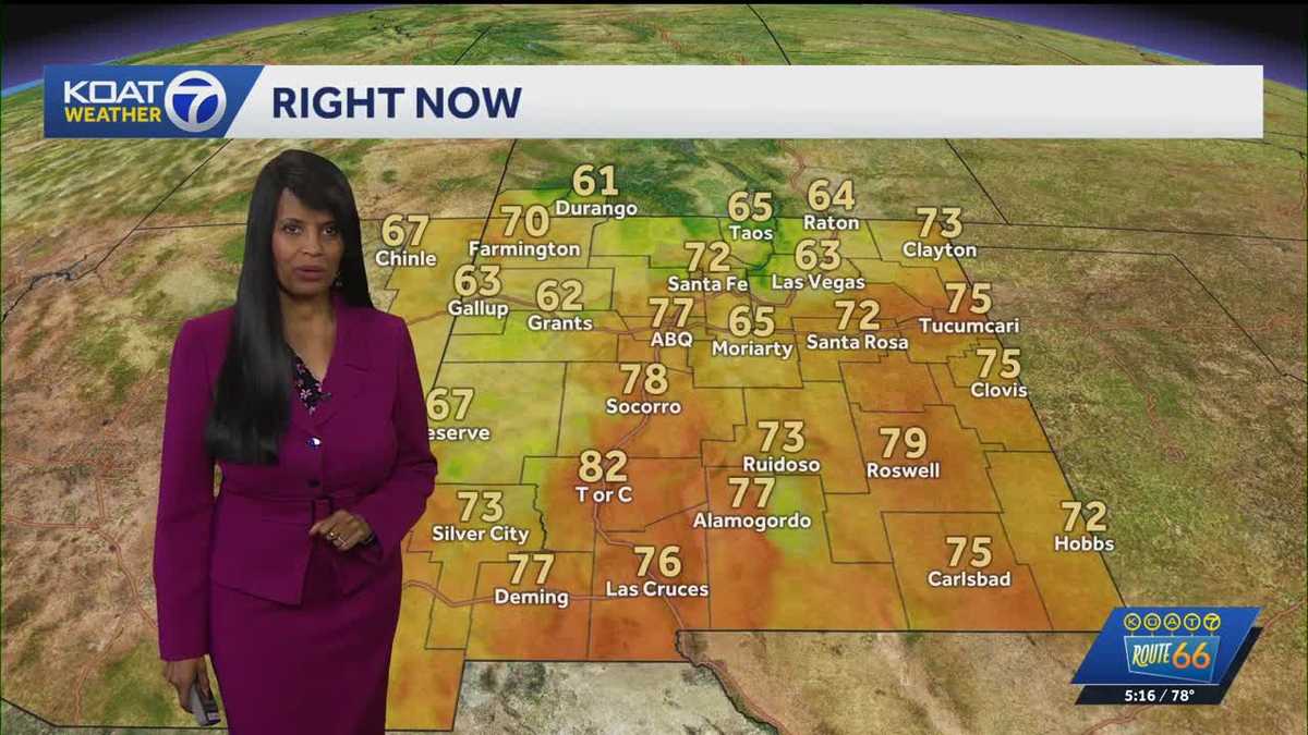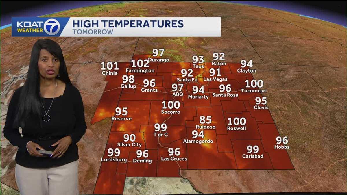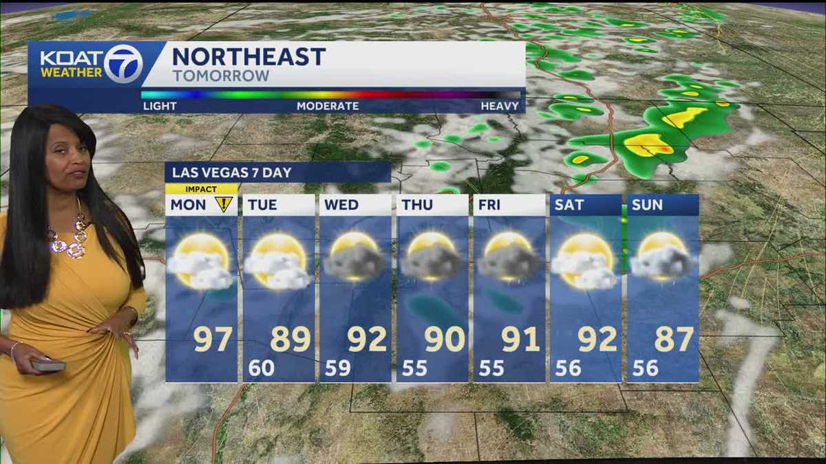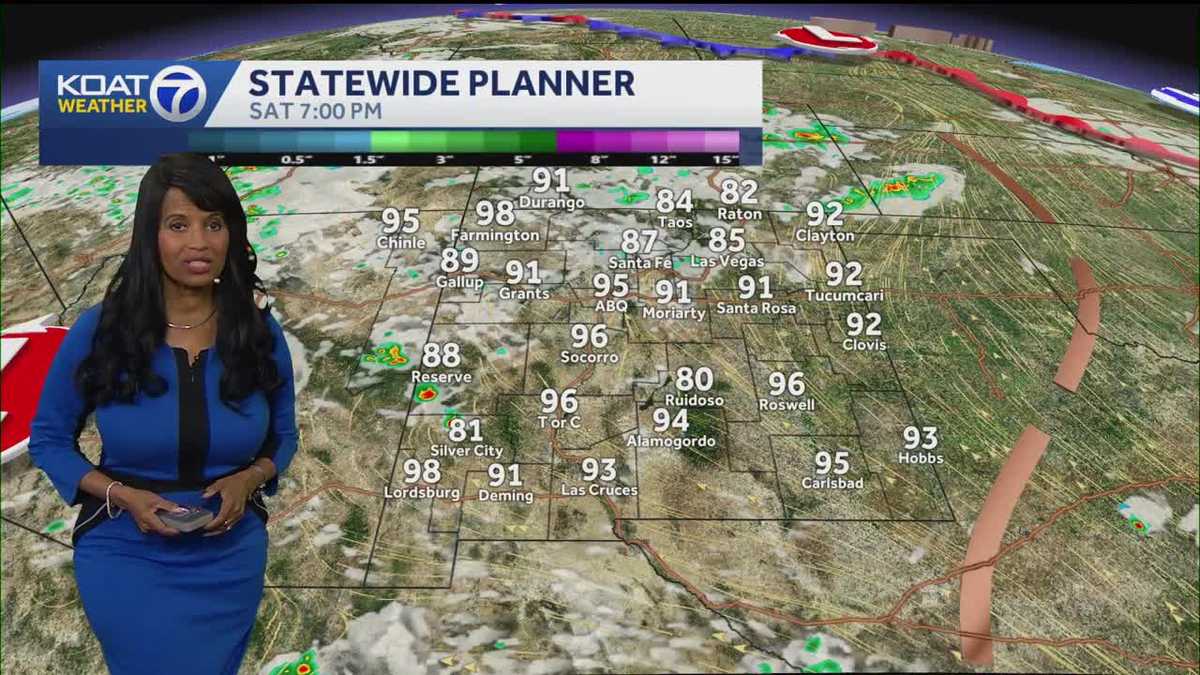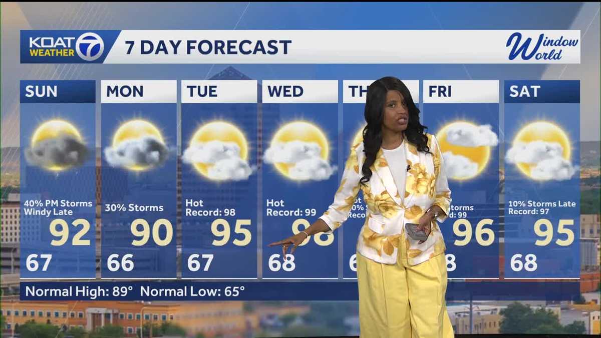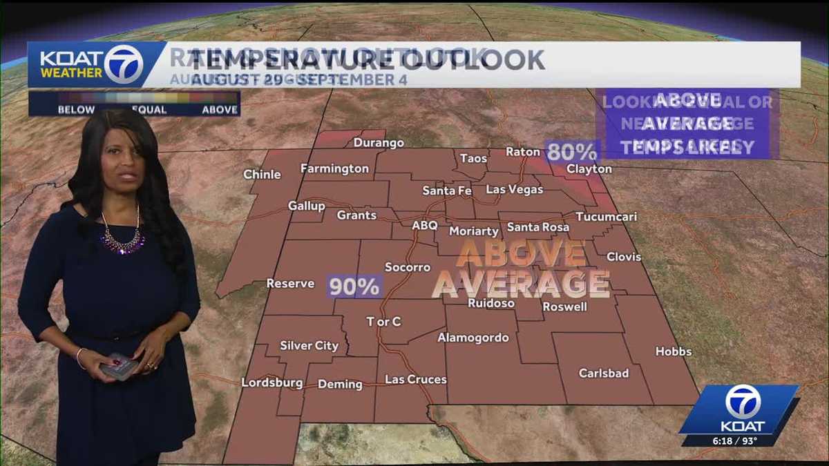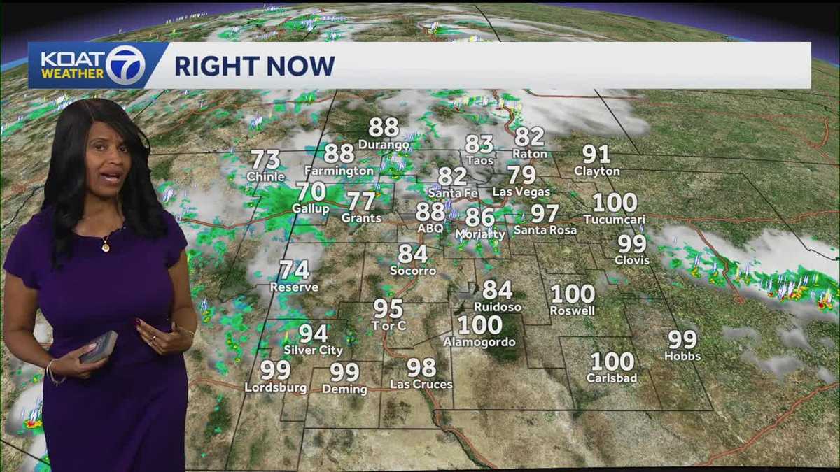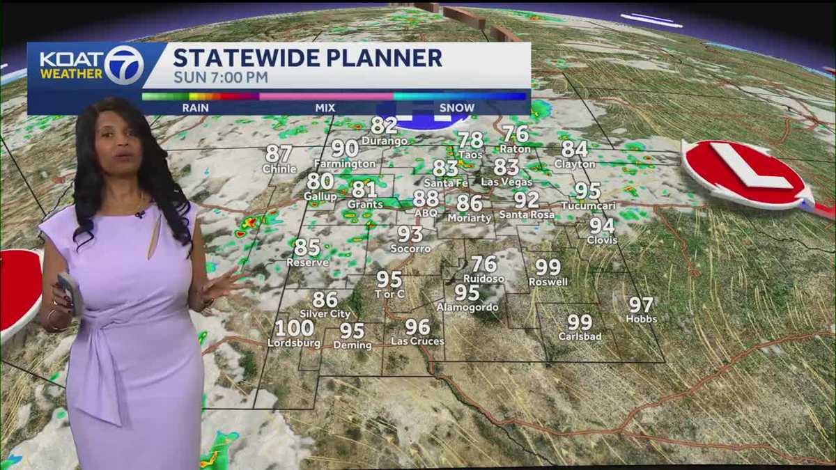


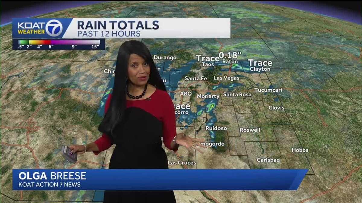
Skip to content High temperatures could reach triple-digits by Wednesday. Summer heat builds through the week with storm chances rising High temperatures could reach triple-digits by Wednesday. Video Player is loading. This is a modal window. Beginning of dialog window. Escape will cancel and close the window. Text Color Opacity Text Background Color Opacity Caption Area Background Color Opacity Font Size Text Edge Style Font Family End of dialog window. ✕ We are going to be in this maybe for another hour, hour and *** half here in the Albuquerque Metro, but you can see there are pockets of gusty wind across the state. Most of this is associated with the scattered showers and thunderstorms off toward the east, but there are pockets here in central New Mexico and off toward the west that are seeing some gusts 28 mile per hour wind gusts for Grants, 23 Moriarty. We're seeing quite *** bit of wind from Lordsburg and Deming along that I-10 corridor. So yes, it's going to be *** challenge. The Weather Service has Added *** dust storm, uh, warning that is for *** portion of Dona Ana and Luna counties. This goes until 6 o'clock. We'll also see, uh, continue, I should say, with our dust advisory here for the Albuquerque Metro, uh, that expires for 5:15. Overall pockets of wind and rain, *** possibility into the evening where rain cooled at Silver City, now down to 74 degrees, uh, with some heavy down. Pours coming down over portions of that region. You can see all the lightning strikes as well. So far, very few severe warn thunderstorms. This storm was not severe warned, however, it dumped quite *** bit of rain in Eddy County, so this portion of the county stays under the, uh, flash flood warning until we get to 7:30 this evening, and then things should be in the clear. It's *** little bit hazy. We have not only the smoke but the blowing dust as we move through the evening. These winds are going to be pretty breezy. Until about 9 o'clock tonight, then our wind speeds will drop below 15 MPH. We will be mainly clear overnight tonight with *** few passing clouds, and tomorrow starts off with *** lot of sunshine, but things will be changing tomorrow afternoon and tomorrow evening. Let me get you through our short term forecast here with your statewide planner. Starting you off at 7 o'clock this evening, notice the scattered showers, some isolated thunderstorms mainly off toward the east. Then things get interesting overnight. Tonight we dial back and it's *** pretty quiet start. Tomorrow morning at 7 o'clock, mainly sunny skies, but it does not last very long. We're definitely going to see *** possibility for clouds to increase. This should hold off till after your lunch break, but when we get into the afternoon and into the evening, we'll see more cloud cover, and some of us could see an isolated shower or thunderstorm, though we will see *** possibility for rain showers anywhere here in the Albuquerque Metro and even Santa Fe for tomorrow. Much of the state really has that opportunity. For some much needed rain. Rain possibilities though will ramp up when we move from Monday into Tuesday, and that does exclude the Four quarters region for the most part. It's going to be *** pretty dry stretch, uh, in Farmington. We will get near that century mark by Wednesday. We're going to hover in the upper 90s for most of the week and *** possibility for some triple digit heat coming your way next weekend. Overall, *** good chance. Of some impact showers and storms for the south and the west, which means Silver City, you need to be on alert, especially for tomorrow afternoon and tomorrow evening. We're going to hold back our temps just *** couple of degrees while the storms pass through, but this will come with heavy downpours and also some gusty winds. Triple digits will make *** comeback for Roswell. Generally dry, but 100 degree temps by midweek should be expected, and we're going to sustain that heat. So make sure you have *** plan, uh, to keep yourself safe. Overall, *** nice. Monday is on tap for the northern and eastern zones, but in Las Vegas, Raton, and Red River be prepared for impact rain and maybe even some gusty winds with it by Tuesday afternoon and Tuesday evening. Rain is headed our way for Santa Fe. We're going to hold off. On Monday, *** slight chance. By Tuesday those opportunities really increase, and for the Albuquerque Metro, tomorrow will feature *** possibility for *** storm chance in the afternoon. Better rain chances Tuesday and Wednesday. Updated: 6:57 PM MDT Jul 5, 2026 Summer heat builds through the week with storm chances rising High temperatures could reach triple-digits by Wednesday. Updated: 6:57 PM MDT Jul 5, 2026 It's back to reality from the holiday weekend. Monday starts with a lot of sunshine before clouds move in. That will increase afternoon shower and storm chances, though our chances are slight. Many of these storms will be dry thunderstorms with gusty winds Monday evening. Highs across the Albuquerque metro top out a few degrees above average at 96 degrees; 89 for Santa Fe. Watch for isolated to scattered showers and thunderstorms at higher elevations, particularly for the central mountain chain and the southwestern ranges. It will stay partly cloudy and mild Monday night. Better opportunities for much-needed rain develop on Tuesday and continue through at least mid-week. This could elevate flash flooding risk for burn scar areas as rounds of storms move through over multiple days.
Olga Breese is a meteorologist at WAAY-TV. With a strong focus on climate change, environmental issues, and regional interest stories, she combines her passion for weather forecasting with a commitment to energy decarbonization. Olga has been featured in MSN and KOAT 7, showcasing her expertise in climate policy and Global Warming, as well as her love for travel and exploration.